
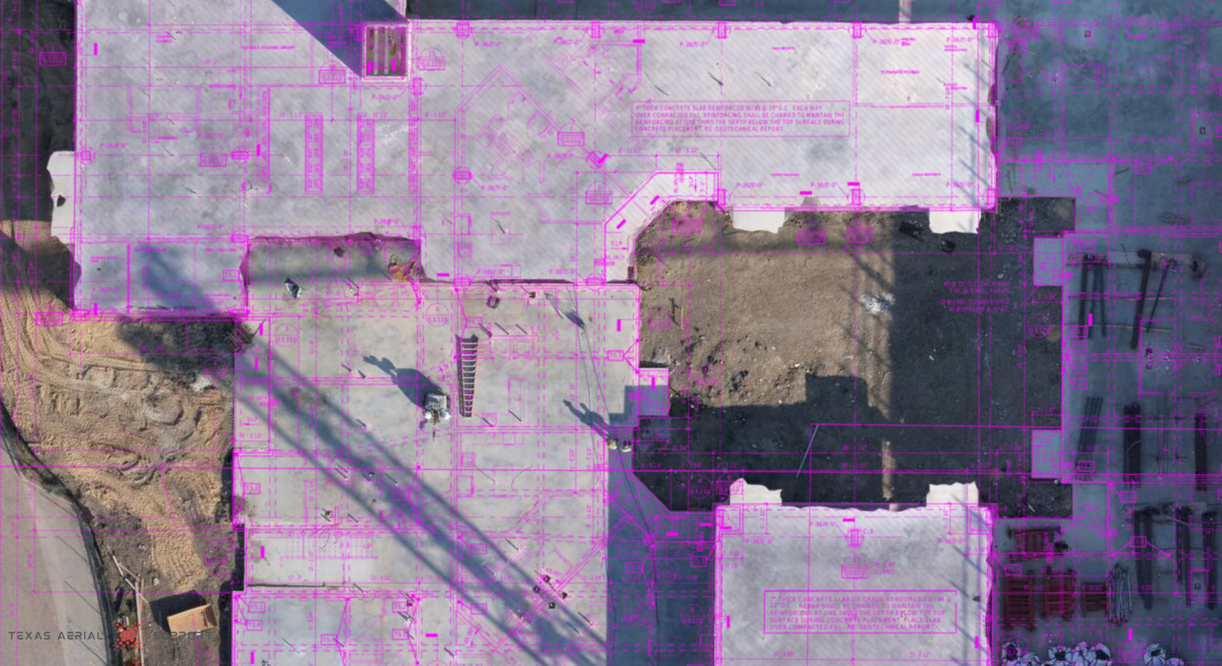
Texas Aerial Support provides high-resolution 2D and 3D aerial mapping designed specifically for active construction sites. These captures deliver accurate, measurable site data that can be used for progress tracking, plan overlays, logistics planning, and historical documentation.
Services can be performed on a recurring basis (weekly, bi-weekly, or milestone-based) depending on project needs. What makes this service unique is the use of enterprise-grade equipment and construction-focused workflows, ensuring consistency, accuracy, and repeatable results throughout the life of the project.